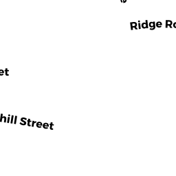
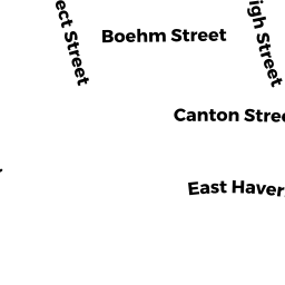
20 RIDGE RD
Owner Information
MORENO-GARCIA KELVIN
20 RIDGE RD
LAWRENCE, MA 01841


Property Details
20 RIDGE RD is classified as a Two-Family Residential (Family conver.).
The primary structure on this property was built in 1920. There are 6,968ft2 of built area within this property. There is 3,747ft2 of residential/living space within this property. This property is listed as having 13 rooms.
20 RIDGE RD is valued at $458,700. The land is valued at $120,800 and the structures are valued at $329,600. There is an additional valuation of $8,300 on this property.
This property is in Zone R2. Confirm with local Zoning Board authorities to ensure there are no overlays or other easements on this property.
The most recent deed for 20 RIDGE RD is recorded at the local registrar in Book 13472, Page 260. 20 RIDGE RD was last sold on Monday, May 20, 2013 for $280,000.
Assessment data from fiscal year 2022.
Flood Data
According to the FEMA National Flood Hazard Layer, this property does not appear to be in a flood zone. It may also be in an area not yet reviewed. Nonetheless, confirm this information prior to taking any action.
To view the flood hazards around this property, create a FEMA "Firmette" Map of the area around 20 RIDGE RD.
Broadband Internet Providers
| Provider | Type | Bandwidth (mbps) | |
|---|---|---|---|
| Verizon New England Inc. | DSL | 7 | 0 |
| Verizon New England Inc. | Fiber | 940 | 880 |
| VSAT Systems, LLC. | Satellite | 2 | 1 |
| HughesNet | Satellite | 25 | 3 |
| GCI Communication Corp. | Satellite | 0 | 0 |
| Comcast | Cable | 1000 | 35 |
| Viasat Inc | Satellite | 100 | 3 |
Broadband service provider data from December 2020.
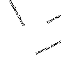
Adjacent Properties
- 142 E HAVERHILL ST UNIT 1
Condo owned by TURRISI DANIEL - 142 E HAVERHILL ST UNIT2
Condo owned by BENNETT LEON - 140 E HAVERHILL ST
Condo owned by 140 E HAVERHILL ST REALTY TRUST - E HAVERHILL ST
Other, Open Space owned by CONDO MASTER RECORD - 16 RIDGE RD
Two-Family Residential owned by OVALLES FELIX J/T - 22 RIDGE RD
Two-Family Residential owned by US BANK TRUST N A